Finding data
Data.NSW provides various ways to find data on the site. You can search for data using the following methods:
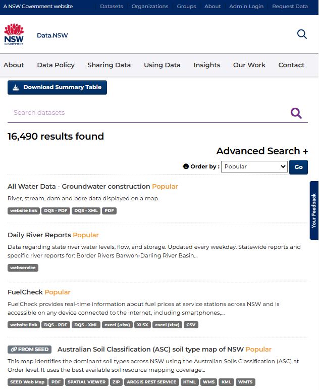
The datasets catalogue is where you can view and browse all datasets uploaded to the site. You can also use “Advanced Search” to assist you in locating the relevant dataset you are looking for.
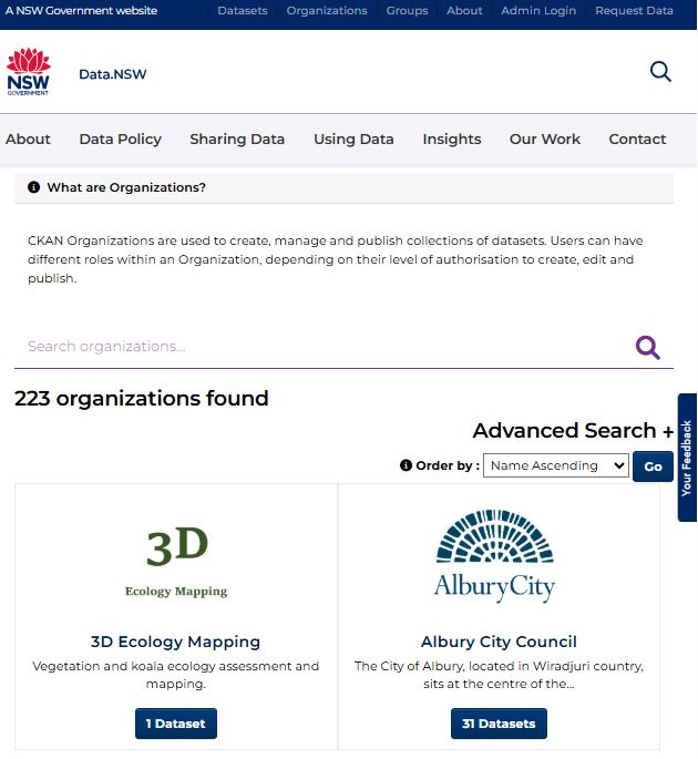
The Organisations page is where you can search for specific organisations that have datasets published in Data.NSW.
Once you select the relevant organisation, you can either browse or use “search” to locate the dataset you are looking for.
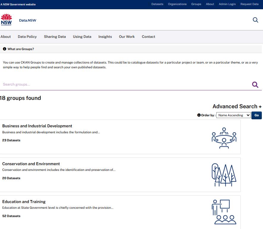
The Groups page is where you can search for datasets that are grouped according to the work or function of NSW Government and its agencies as documented through the State Archives Collection.
Below is a curated list of key data sources available on Data.NSW or other government agencies.
Bushfire and air quality
Fire datasets
| Dataset | Description | Organisation |
|---|---|---|
| Google Earth Engine Burnt Area Map (GEEBAM) | GEEBAM is a GIS imagery layer that captures the canopy area affected by fire for the entire 2019-20 bushfire season. | Department of Planning, Industry and Environment |
| Fires Near Me NSW | Fires Near Me is a set of mobile applications and a mobile web site which displays and maps fires and other incidents in NSW. | Rural Fire Service |
| NPWS Fire History – Wildfires and Prescribed Burns | FireHistory is a GIS-enabled dataset that holds final fire boundaries for every year for which there is data. It primarily provides data on fire boundaries within the NPWS Estate, though the boundaries often extend beyond that. | Department of Planning, Industry and Environment |
| NSW Bush Fire Prone Land | The NSW Bush Fire Prone Land dataset is a map that enables users to check if their property is in Bush Fire Prone Land. | Rural Fire Service |
| NSW Rural Fire Service Current Incidents Feed | The Current Incidents Feed contains a list of current incidents from the NSW RFS. Incident information is updated every 30 minutes. | Rural Fire Service |
| Fire Danger Ratings and Total Fire Ban Feed | Household survey, fare compliance survey, intrastate aviation patronage, monthly public transport patronage by mode | Rural Fire Service |
| Fire Extent and Severity Mapping (FESM) | The FESM severity classes include: unburnt, low severity (burnt understory, unburnt canopy), moderate severity (partial canopy scorch), high severity (complete canopy scorch, partial canopy consumption), extreme (full canopy consumption). | Department of Planning, Industry and Environment |
Air quality datasets
| Dataset | Description | Organisation |
|---|---|---|
| Air Quality Data | This dataset provides historical spatial information relevant to the NSW Department of Planning, Industry and Environment operated air quality monitoring network. | Department of Planning, Industry and Environment |
| Current Air Quality – live data | Air quality index values – updated hourly | Department of Planning, Industry and Environment |
Social and economic datasets and Covid-19 data
Wellbeing signals
| Dataset | Description | Organisation |
|---|---|---|
| Vulnerable population data | Data and reports on services for children, families, social housing, caseworkers, domestic and family violence Note: Research data may be available on request. | Department of Communities and Justice |
| NSW Recorded crime statistics | This report presents data on crime reported to, or detected by, NSW Police. Information is provided on 13 major offence categories, which include the most serious violent and property offences, plus a more detailed list of 62 specific offence types. | BOCSAR |
| Health open data | Statistics and reports on Aboriginal health, ambulance performance, mental health, chronic disease, elective surgery, alcohol and other drug use etc. | NSW Health |
Social signals
| Dataset | Description | Organisation |
|---|---|---|
| Education statistics | The master dataset contains comprehensive information for all government schools in NSW. Data items include Attendance, school and class size, school locations and catchments, selective high schools' entry scores. | Department of Education Training |
| Population projections | This dataset produces population projections in NSW , identifying trends in births, deaths, and migration through to 2041. Note: DPIE undertook analysis on Population projections for COVID-19, which included intra-state migration. This may also be of use. | Department of Planning, Industry and Environment |
| Rent and Sales Report | The Rent and Sales report is the sole authoritative source of data on NSW rent movements, which is updated on a quarterly basis. | Department of Communities and Justice |
| Opal data | Public transport patronage data by mode and LGA from July 2016. | Transport for NSW |
| Road network usage data | A presentation of data through map viewer showing continuous collection of road use statistics including annual average traffic counts, hourly traffic counts. | Transport for NSW |
| Transport Performance and Analytics Data | Household survey, fare compliance survey, intrastate aviation patronage, monthly public transport patronage by mode. | Transport for NSW |
| Live traffic cameras | A service which provides live updates, traveler information and personalised alerts for NSW roads, which is updated every 60 seconds. | Transport for NSW |
Economic signals
| Dataset | Description | Organisation |
|---|---|---|
| FuelCheck | FuelCheck provides real-time information about fuel prices at service stations across NSW. | NSW Fair Trading |
| Freight data | These datasets contain performance and other statistics, focusing on Freight forecast, port, air and rail freight usage, road safety . | Transport for NSW |
NSW COVID-19 data
From 20 October 2023, COVID-19 datasets will no longer be updated. The best indicators of COVID-19 activity in the community are:
- admissions to the hospital
- sewage testing.
Detailed information is available in the fortnightly NSW Respiratory Surveillance Report.
Latest national COVID-19 spread, vaccination and treatment metrics are available on the Australian Government Health website
Data.NSW provides historical datasets for COVID-19 cases, tests and other related data.
| Datasets | Description |
| COVID-19 clinics | Dataset provides data on COVID-19 testing and assessment clinics by geolocation, address, contact details, services provided and opening hours. |
| NSW covid-19 cases by location | Dataset provides data on COVID-19 cases by notification date and postcode, local health district, and local government area. |
| NSW covid-19 cases by age range | Dataset provides COVID-19 cases by notification date and age range. |
| NSW covid-19 tests by location and result | Dataset provides COVID-19 tests by date and postcode, local health district, local government area and result. |
| NSW covid-19 case locations | Dataset provides data for locations associated with confirmed COVID-19 cases that have been classified by NSW Health for action. |
| NSW COVID-19 cases by location and likely source of infection | Dataset provides COVID-19 cases by likely source of infection. |
| NSW COVID-19 cases by location and likely source of infection | Dataset provides COVID-19 cases by notification date and postcode, local health district, local government area and likely source of infection. |
| NSW COVID-19 public transport routes | Data is for confirmed COVID-19 cases on public transport routes that have been classified by NSW Health for action. |
Last updated 17 Mar 2025