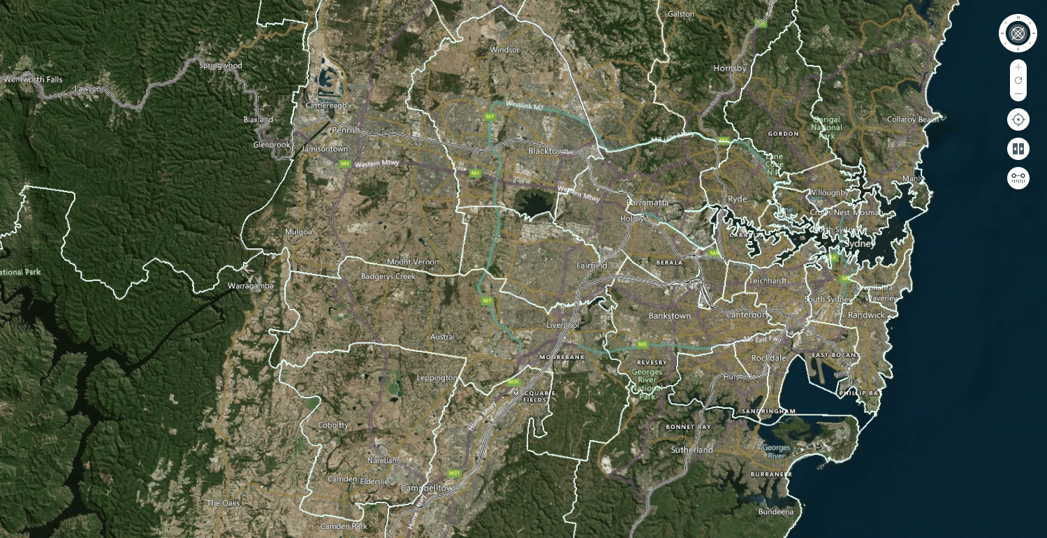
Spatial data describes the shape and physical location of features and boundaries, such as natural features, buildings, survey marks, land parcels, street addresses and local government areas.
Digital spatial data has become a vital tool for people who need information on land, environment, transport, communications, utility services and demographics. It is also used in everyday life through services such as GPS and online navigation.
What support is available?
Spatial Services is a division of the Department of Customer Service. It is the key provider of spatial data and services for NSW and contributes towards a Digital Government.
Spatial data, products and services are utilised for a variety of purposes, including: land management, state economic and social development, and providing government services to the community, such as emergency management.
Key Spatial Services initiatives include:
- Enabling the community, business and Government to maximise benefits from land and property, as well as to generate economic prosperity.
- Delivering authoritative land and spatial data services, including property, surveying and mapping information.
- Providing policy and guidance to support best practices and compliance with set standards
- Overseeing the practice and conduct of surveying in NSW through the Board of Surveying and Spatial Information of NSW (BOSSI)
- Standardising and assigning NSW place names through the Geographical Names Board (GNB)
- Digital Twin Project
Throughout NSW, Australia and internationally, the following products and services are available:
- Topographic maps
- Addressing standards and data
- Digital cadastral data
- Imagery and elevation data
- SCIMS Online
The following Information Sheets on spatial products and services are also available:
Last updated 18 Jul 2024